

Article 7: Photogrammetric Surveying — Extracting Three-Dimensional Geometry from Photographs
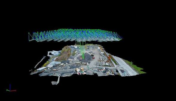
Photogrammetry is the science and art of obtaining reliable three-dimensional measurements, coordinates, and maps of physical objects and terrain from overlapping two-dimensional photographs. Originating in the mid-nineteenth century shortly after the invention of photography, photogrammetry revolutionized cartography during the twentieth century through analog and analytical stereo-plotting instruments. Today, it drives rapid 3D digitization across satellites,…